
How Much Does a Land Survey Cost?
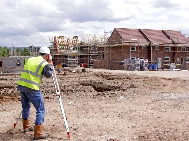
A land survey costs between $376 and $745 on average for a standard residential property, with a national average of around $526. Prices range from as low as $100 for a basic mortgage survey to more than $10,000 for a commercial ALTA survey. The final cost depends on the type of survey, property size, terrain, and your location.
A land survey is one of the more straightforward professional services you will pay for in a real estate or construction project. The price is predictable once you know what drives it. This guide breaks down current costs clearly so you can budget with confidence and know what questions to ask before hiring a surveyor.
Average Land Survey Costs by Type
Survey prices vary widely because different survey types involve different amounts of work. A mortgage survey takes a few hours. An ALTA commercial survey can take weeks. Knowing which type you need is the first step to getting an accurate cost estimate.
Not all surveys are the same. The type you need depends on your purpose, whether that is buying a home, settling a boundary question, or planning a construction project.
| Survey Type | Typical Cost Range | Common Use |
| Mortgage / Location Survey | $100 to $500 | Lender requirement at closing |
| Boundary Survey | $400 to $1,500 | Establishing legal property lines |
| Topographic Survey | $500 to $2,500 | Construction and site planning |
| Construction Staking | $800 to $3,000 | Marking lot for building permits |
| Subdivision / Plat Survey | $1,500 to $6,000 | Dividing land into multiple parcels |
| ALTA / NSPS Survey | $2,000 to $10,000+ | Commercial real estate transactions |
A mortgage location survey is the most basic option. It shows where structures sit on a lot and satisfies most lender requirements, but it does not legally establish property corners.
A boundary survey goes further. It physically locates and marks the corners of a parcel using recorded deeds and on-site measurements. This is the type most homeowners and property buyers need.
An ALTA survey is required for most commercial transactions. It combines boundary research, title review, and on-site measurement into one detailed document that meets national standards set by the American Land Title Association.
What Drives the Final Price
Six factors determine what a surveyor will charge: property size, terrain and vegetation, the type of survey needed, the availability of historical records, local market rates, and how quickly you need the work completed.
Property Size
Larger properties take more time to measure and document, so they cost more. Here are general ranges based on acreage:
- Under 0.5 acres: $400 to $700
- 0.5 to 1 acre: $600 to $1,000
- 1 to 5 acres: $1,000 to $2,500
- 5 to 10 acres: $2,000 to $4,000
- Over 10 acres: priced per acre, typically $50 to $500 per acre
Terrain and Vegetation
A flat, open suburban lot is straightforward to survey. A hillside property or one covered with dense brush requires more time in the field and sometimes specialized equipment. Expect higher quotes any time the terrain is steep, wet, or heavily wooded.
Historical Records
Before a surveyor sets foot on your property, they research the legal history of the parcel. If the last survey was recent and county records are complete, that research moves quickly. If records are outdated, missing, or unclear, the surveyor spends more time at a desk before any fieldwork begins. The National Society of Professional Surveyors notes that incomplete records can add several hours of billable research time to a project.
Local Market Rates
Labor costs vary by region. Urban markets and high cost-of-living areas tend to have higher survey rates. In rural areas, rates may be lower, but travel time from the surveyor’s office to your property can offset that difference.
Turnaround Time
Standard delivery for a residential survey runs one to two weeks from the date fieldwork is completed. If you need results faster, for example to meet a closing deadline, most firms offer rush service at an added cost of 20 to 50 percent above the standard rate.
How to Get an Accurate Quote
Surveyors price jobs individually after reviewing the specifics of a property. To get the most useful estimate, prepare the following before you call:
- Your parcel identification number or legal description, available from your county assessor’s website or a recent tax bill
- The approximate size and shape of the lot
- The date of any previous survey, plus a copy if you have one
- A clear description of what you need the survey for
Get at least three quotes. Survey pricing is competitive and rates can vary by 20 to 40 percent between firms for identical work. When comparing quotes, confirm that each one specifies the same deliverable. A signed and sealed plat from a licensed surveyor is not the same as a simple sketch or a verbal boundary description.
Also ask whether the quote includes physical markers at property corners. Most boundary surveys do include iron pins or rebar stakes, but some quotes cover documentation only. Clarifying this upfront avoids surprises at the end of the job.
Frequently Asked Questions
Can I negotiate the price of a land survey?
Yes, to a degree. Surveyors have limited flexibility on labor costs, but providing a copy of a previous survey, having your parcel ID ready, and scheduling during a slow period can all reduce research and scheduling time. Bundling multiple parcels or neighboring properties into one project can also bring the per-property cost down.
Does a land survey include property markers?
Most boundary surveys include the placement of physical markers at property corners. Confirm this before signing a contract, as some quotes cover research and documentation only.
How long does a land survey stay valid?
A survey does not expire, but courts and lenders may require an updated one if the existing survey is more than five to ten years old, or if improvements have been made to the property since the last survey was completed.
What is included in the final deliverable?
A completed boundary survey typically includes a signed and sealed plat or drawing, a written legal description of the property, and documentation of any monuments placed or found during the survey. Ask your surveyor to confirm what is included before work begins.